
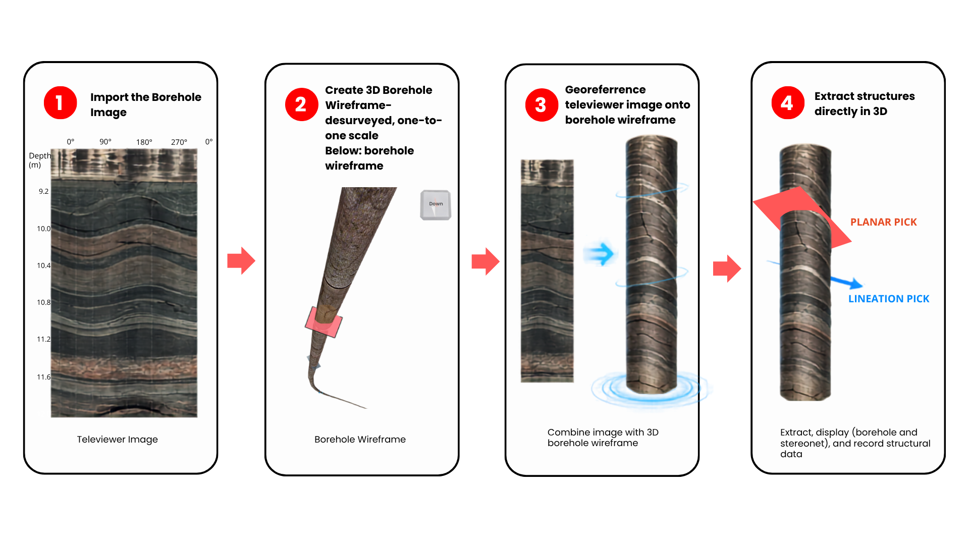
vSBI™ is Vektore’s software for extracting structural information – including planar, linear, kinematic, and asymmetry features – directly from georeferenced televiewer images displayed on a desurveyed, one-to-one-scale 3D representation of the borehole
VSBI

vSBI™ Visual Workflow
vSBI™ transforms televiewer imagery into a spatially referenced 3D interpretation environment.
Why vSBI™?
Industry-standard software relies on unwrapped borehole images, largely limiting structural extraction to planar features. vSBI™ instead builds a 3D virtual borehole, allowing structural features to be fully visualized in their natural spatial orientation.
Conventional televiewer interpretation often focuses on planes. vSBI™ goes further by extracting lineations, kinematics, asymmetry, and other directional features that can improve understanding of orebody geometry and structural evolution.
When It Adds Value
- Missing linear, asymmetry, and kinematic features
- Non-oriented or poorly oriented core
- Complex orebody geometry
- Legacy borehole
Traceable Structural Interpretation
Each interpretation can be reviewed against its original borehole image
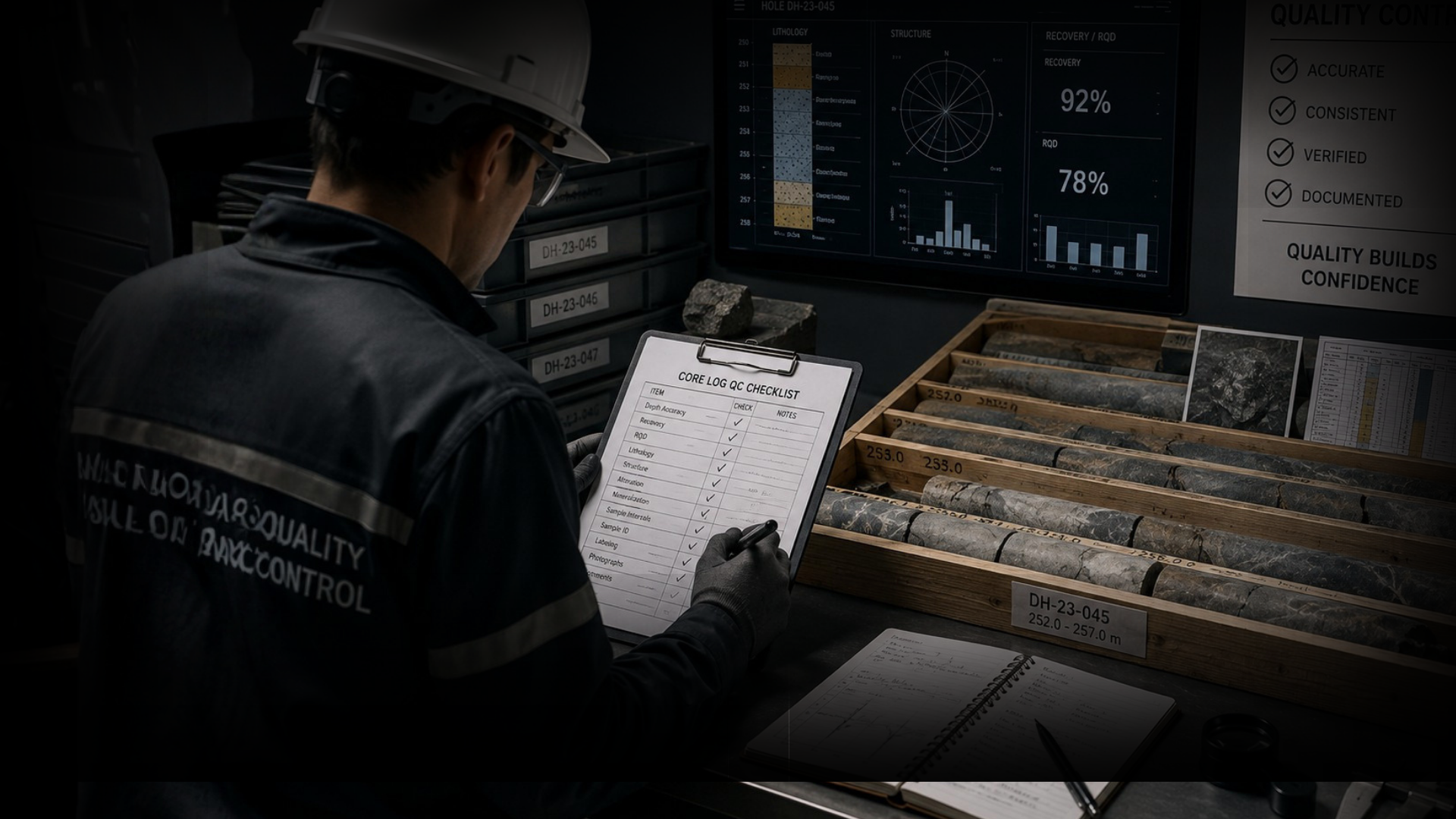
Traceable structural data supports review, validation, and quality control.
- Peer review
- QA/QC
- Data validation
- Future reinterpretation
- Auditable structural records